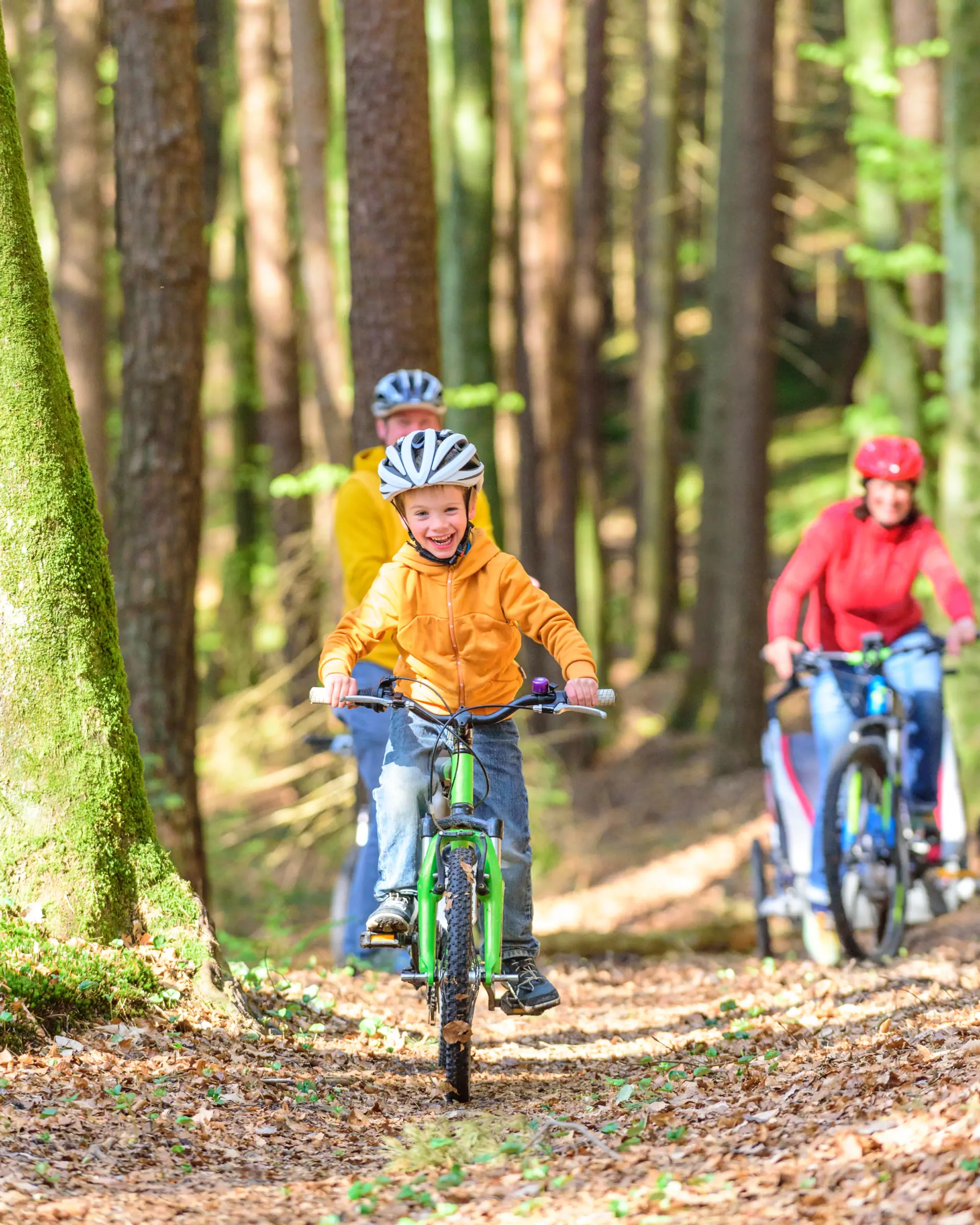
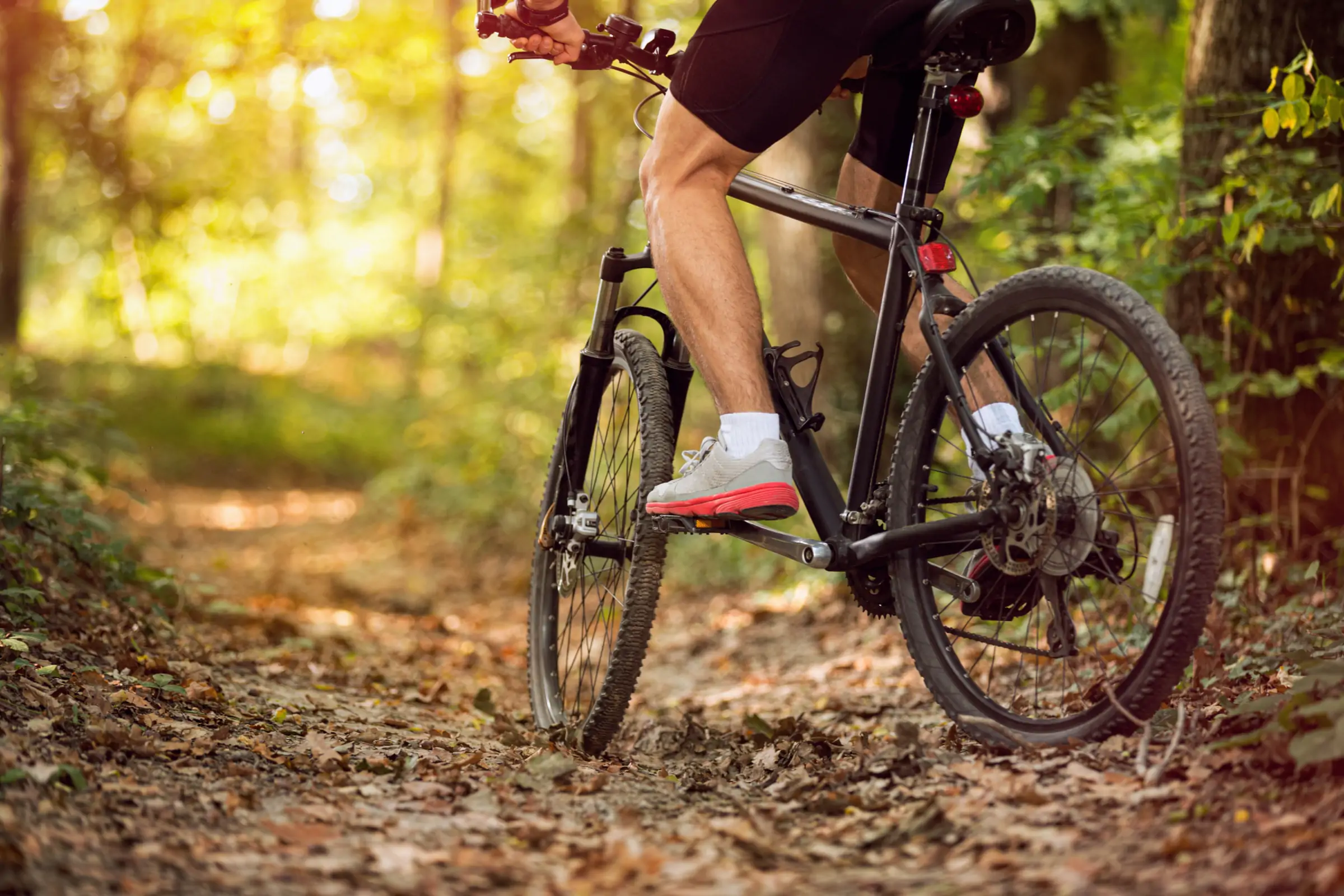
Circuit 5 - Bike
The Circuit of Sources
Embark on a mountain bike adventure through the typical Normandy countryside and the Souleuvre Valley. This easy circuit invites you to fully immerse yourself in nature, punctuated by panoramic views and passing through hamlets.
Learn more
GPX, source and informations
In short:
- Starting point: The Turner
- Distance: 23.8km.
- Estimated duration: 1h45.
- Cumulative elevation gain: 561 m.
- Level: Difficult
- Authorized practice: by bicycle
The detailed route:
- Departure from the Turner(marker 1 on the map).
- From Place du Tourneur, take the D53 towards Le Bény-Bocage.
- At the first intersection, continue straight.
- At the next fork, take the road on the right (towards Le Basq).
- Continue straight ahead and take the first path on the right after the houses.
- The path winds through fields and woods. Stay on the main path, ignoring any side trails.
- You will then reach a small paved road. Turn right.
- At the next intersection, turn left towards La Hogue.
- Continue on this road which turns into a path and takes you towards the Valleys of Souleuvre.
- Descend into the valley, passing wetter areas.
- You will cross the Souleuvre River and the Roucamps River.
- The path then goes back up towards the Buronnière(marker 2 on the map).
- Continue on the road and take a path on the right after La Buronnière, towards the Heurtodière.
- Cross over the Heurtodière and continue on the path.
- You will come to a crossroads, turn right to joinl’Oraille(marker 3 on the map).
- Cross over l ‘Oraille and follow the small road towards theRoucamps.
- At Roucamps, the path runs along the river for a section.
- Continue towards the Malherbière(marker 4 on the map).
- HAS the Malherbière, the path goes up and gradually brings you back to Le Tourneur.
- Arriving near the village, you will join the main road which takes you back to your starting point at Tourneur (marker 5 on the map).