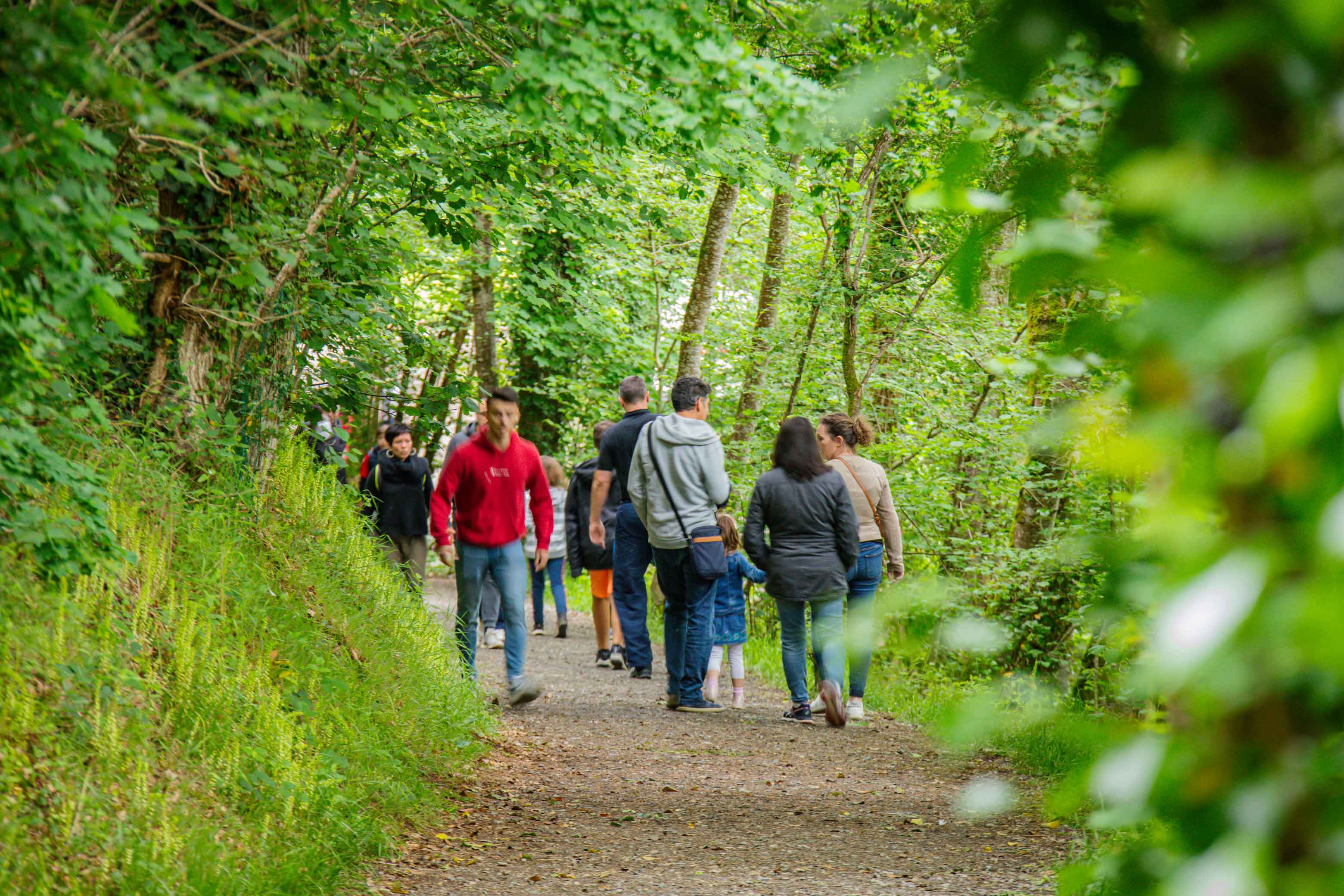
Circuit 4 - Hike
From Tourneur to Souleuvre
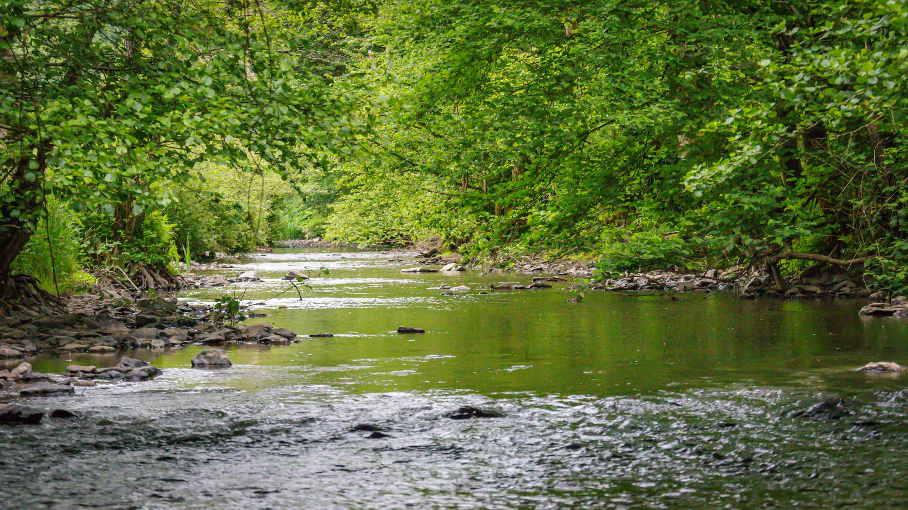
Discover the Souleuvre Valley through this hike that combines the discovery of varied landscapes with an immersion in local history. This route will take you through iconic sites, offering a rich outdoor experience.
Learn more
GPX, source and informations
In short:
- Starting point: Le Tourneur (new commune of Souleuvre en Bocage), Moulin Pinel picnic area.
- Distance: 7,2 km.
- Estimated duration: 2h15.
- Cumulative elevation gain: 252 m.
- Level: Average route.
- Authorized practice: on foot, by bike or on horseback.
The detailed route:
- From the Moulin Pinel picnic area, turn right onto the D109 and cross the bridge over the Souleuvre. Continue up the path on the right for 100 m and take the path on the right until you reach the fork.
- Equestrian variant: To avoid a steep path, continue along the path opposite (shown in dashed lines on the map).
- Climb up the path on the left (with viewpoints), cross the road and descend the steep and rocky path (mountain bikers should be careful). Cross the stream and climb back up the less steep path opposite.
- At the farm, turn left for 30 m, then follow the small road on the right. It continues as a path and leads to a crossroads.
- Continue along the path on the left. Take the small road on the left for 20 m, then the path on the right (with viewpoints). Go down the path on the right.
- From the Rescue Center Square, join the main road. Follow the D56 to the right and ignore the road on the right. Turn right onto the Surville Valley service road. Descend along the wooded path along the edge of the stream (be careful of fording depending on the season). At the bottom, the path turns right then left and reaches the bridge over the Souleuvre. Cross it to reach an intersection.
- Round trip to the Souleuvre viaduct: Continue left into the valley. At the intersection, turn left, then cross the Roucamps on the right. The path runs along the Souleuvre Valley and leads to the viaduct (approximately 2.5 km and 45 minutes round trip).
- Follow the valley to the right. Climb the very wet path along a tributary for 150 m, turn right, and climb the steep slope to reach the plateau. Take the wide path to the right. It descends gently and brings you back to the parking lot.