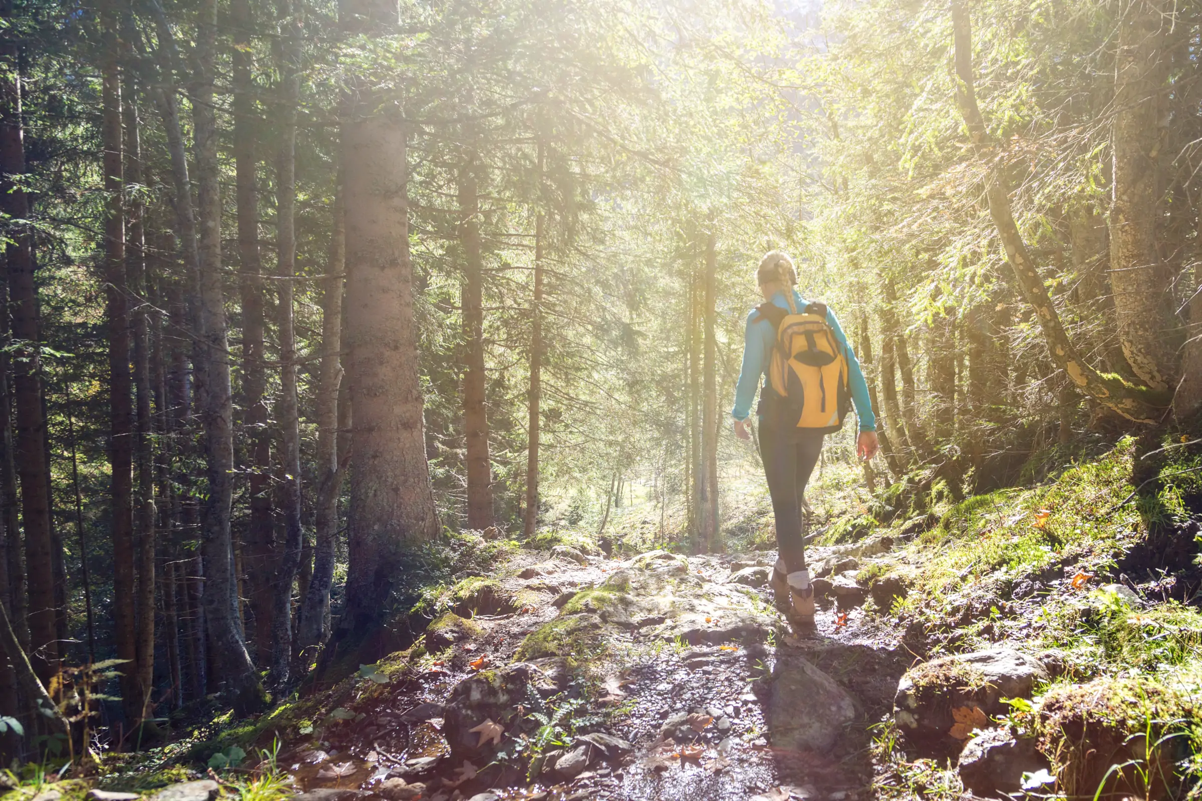
Circuit 2 - Hike
From Roucamps to Souleuvre
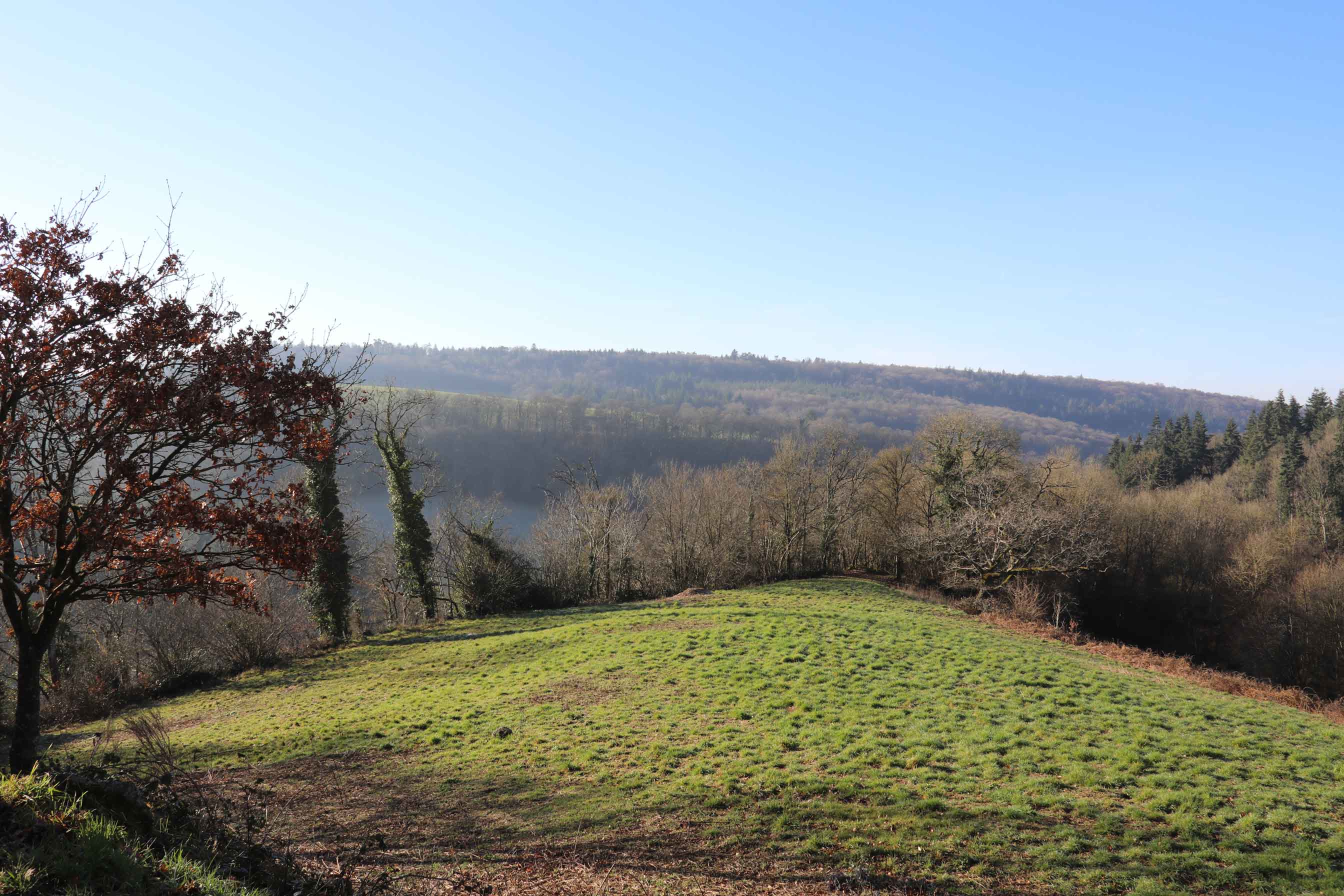
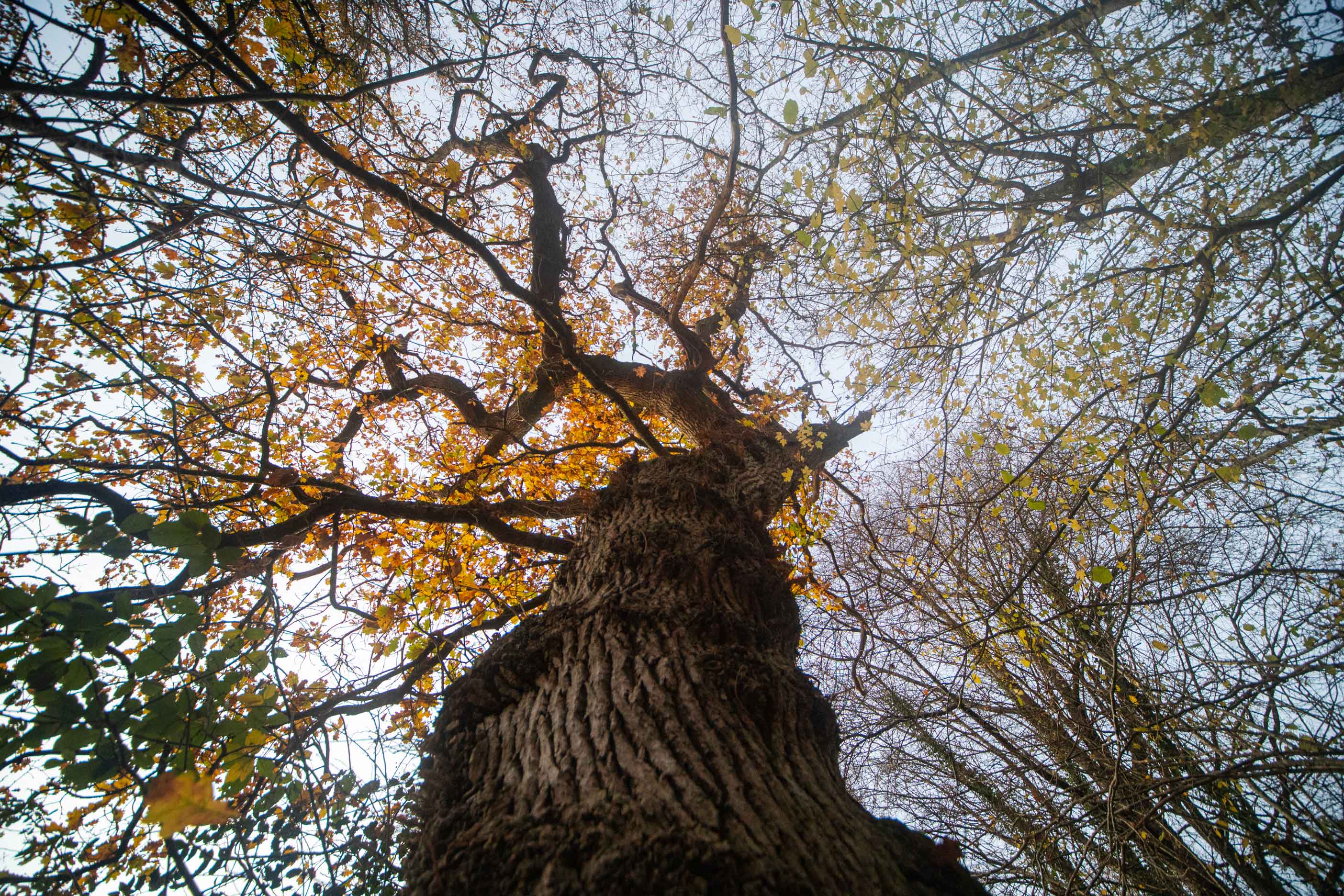
Explore the rolling landscapes of the Pays de Vire and the richness of the Souleuvre Valley with this hiking trail. This route will take you through woods and meadows, punctuated by historical and natural landmarks.
Learn more
GPX, source and informations
In short:
- Starting point: La Ferrière-Harang (new commune of Souleuvre en Bocage), at the Souleuvre Viaduct car park (bungee jumping reception side).
- Distance: 17,5 km.
- Estimated duration: 4 hours 45 minutes.
- Cumulative elevation gain: 420 m.
- Level: Difficult
- Authorized practice: on foot, by bike or on horseback.
The detailed route:
- From the Souleuvre Viaduct car park, on the La Ferrière-Harang side, go down the path on the left towards the bottom of the valley, passing under the viaduct piers to reach the departure sign.
- At the bottom of the path, turn left. Cross the Roucamps footbridge, then take the path on the left that climbs. Ignore a path on the right and continue on the one opposite to La Malherbière. Continue along a tarmac road, ignoring two roads on the left.
- Take a path on the left, then left again at the bottom of it. Take the path on the right that heads towards La Monnerie. At the crossroads, take the one on the left, then ignore the one on the right. The path turns left towards La Mouche.
- At the intersection, continue straight ahead, down the path, and cross the footbridge over the Roucamps. Continue along the path, leaving a farm track on the left and joining a road. Here, turn left, then turn right towards the Oraille. At the intersection, take the one opposite (left alternative).
- At the end of the path, turn left onto the road, then immediately right. The path descends towards Roucamps and at the bridge, take the road on the left along the wall of a castle. At the crossroads, take the road on the right for 600 m and turn left at the next intersection. Turn left onto a path towards Heurtodiére.
- After the hamlet, turn right and carefully take the D56 on the left. Turn right after the bend onto a lower path. Pass La Buronnière, then take a wide path on the left. At the crossroads, turn left and go down to a road. Turn left for 50 m, then carefully cross the D66 at Les Vaux de Souleuvre. Follow the path along the river to the Viaduc de la Souleuvre and turn left to return to the starting car park.